
-
Weekly aerial updates your whole team can actually use.
Keeping developers, general contractors, and investors aligned on a fast-moving construction site is harder than it should be. Schedules slip. Site visits eat half a day. The photos your superintendent took last Thursday are already out of date by Tuesday.
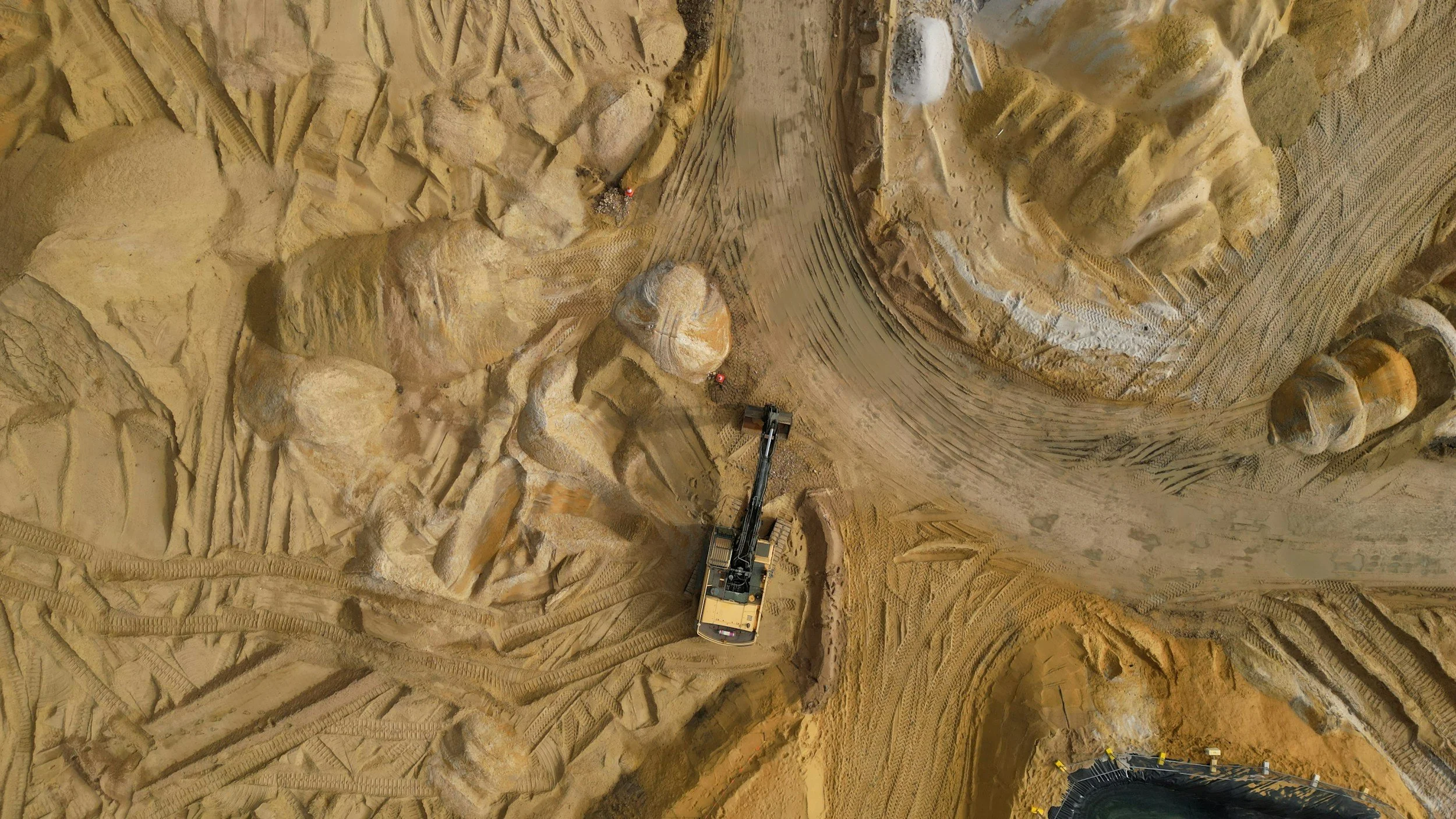
Eye in the Sky delivers consistent, timestamped weekly aerial documentation so your team sees real progress without leaving the office. Every flight follows a fixed waypoint mission programmed in advance, which means every photo is captured from the exact same position, altitude, and angle, week after week. The result is a visual archive where progress is undeniable and side-by-side comparison is instant.
For developers, the archive becomes a direct asset. Lender draw documentation. Pre-leasing marketing content. Quarterly investor and partner updates. All pulled from the same shared folder, organized by date, ready to use.
For general contractors and project managers, it is a timestamped record that holds up when change orders and delay disputes arise. The kind of documentation that protects your schedule and your margin.
What is included
One aerial flight per calendar week, weather and airspace permitting
20 to 25 curated high-resolution still images per visit, delivered within 48 hours
Organized shared cloud folder with permanent archive access
Monthly edited highlight reel, 60 to 90 seconds, summarizing the month's progress
Fixed waypoint mission for true week-over-week visual comparison
All required FAA airspace authorizations handled on our end
Who it is for
Developers managing active commercial, mixed-use, or multifamily construction. General contractors who want a reliable weekly record without pulling a project executive off a job. Owner's representatives reporting to investors or lenders on active projects. Construction lenders who want consistent visual documentation across a portfolio of active loans.
-
Hard-to-reach detail. Without the scaffolding.
Towers, bridges, large buildings, and elevated structures require regular visual inspection. The traditional methods are slow, expensive, and put people in difficult positions. Scaffolding takes time to erect and creates its own safety exposure. Cherry pickers and lifts are costly to mobilize and cannot always reach the angles you need. Rope access is specialized and not always available on short notice.
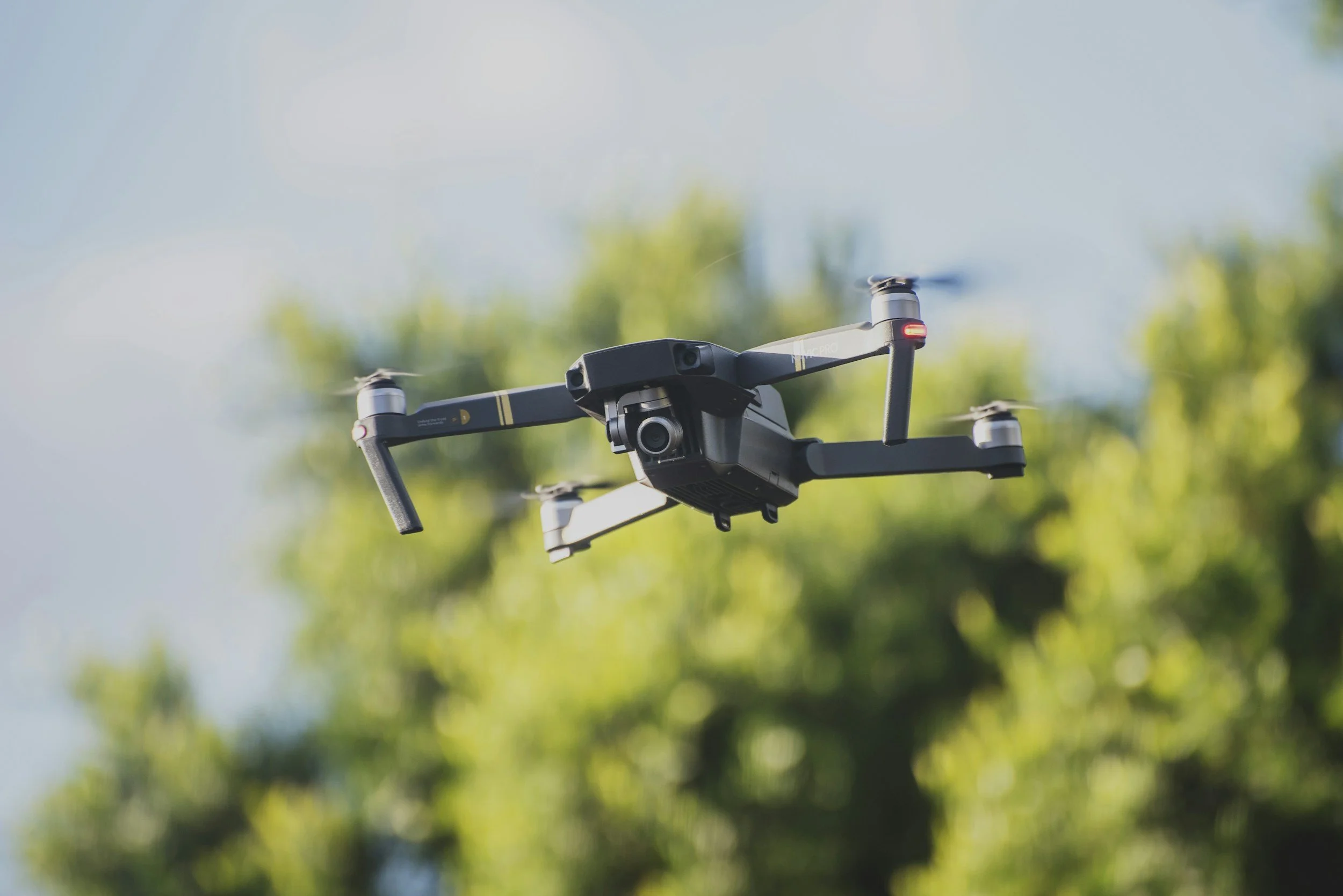
Drone-based inspection changes that equation. Eye in the Sky puts a 4K HDR camera within feet of any structure, capturing high-resolution stills and video from positions that would otherwise require significant rigging. The DJI Air 3's 70mm telephoto lens provides close-up detail on points of interest while maintaining safe standoff distance from the structure.
Deliverables are organized by structure zone and elevation, provided in full resolution for your engineering or maintenance team to review. We do not perform engineering assessments. We provide the visual record your engineers and inspectors need to do their work efficiently.
What is included
Pre-flight site assessment and airspace coordination
High-resolution still images of all accessible faces and points of interest
4K video walkthrough of the full structure
Organized delivery folder sorted by zone, elevation, or area of interest
Written summary of observed visual conditions
All required FAA airspace authorizations and waivers handled on our end
Who it is for
Municipalities and utility operators managing bridges, towers, water tanks, and other infrastructure assets. Facility managers overseeing large commercial or industrial buildings. Engineering firms needing visual documentation to supplement field assessments. Telecom and cellular tower companies needing routine visual checks. Insurance carriers requiring exterior condition documentation.
-
See what is up there before it becomes a problem.
Most homeowners and property managers never get a clear look at their roof or chimney until something goes wrong. Ladder-based inspections are limited in scope, miss the middle of large roofs entirely, and carry real safety risk for whoever is climbing. Eye in the Sky provides a safe, fast, and thorough aerial alternative that shows you the full picture in under 30 minutes on site.
Using the DJI Air 3's 70mm telephoto camera, we capture close-up high-resolution detail of every shingle row, all flashing transitions, chimney crowns, mortar joints, gutters, valleys, and any visible structural concerns. You receive a complete photo and video record the same day, organized for easy sharing with a roofing contractor, insurance adjuster, or home inspector.
This is a visual documentation service. We do not perform engineering or structural assessments. We provide the imagery that helps you and your professionals make informed decisions.
What is included
Full aerial pass of the roof surface from multiple angles
Close-up telephoto imagery of the chimney, flashing, and gutters
4K video walkthrough of the entire exterior roofline
30 to 50 organized still images delivered same day
Shared folder link or direct email delivery, your choice
Who it is for
Homeowners preparing for a sale, following a major storm, after seeing visible damage, or due for a routine maintenance check. Property managers overseeing multiple residential or commercial buildings who need consistent documentation. Real estate agents and home inspectors who want aerial imagery as part of a listing package or pre-purchase inspection report. Insurance professionals documenting claims.
What We Offer
Not sure which service fits your project?
Reach out and we will figure it out together. No sales pitch. No obligation. If your needs do not match one of the services above, we can either build a custom scope or point you toward someone better suited to the work.
How We Work
Every engagement follows the same five-step process, whether it is a single chimney inspection or a recurring construction documentation contract. Predictability is the point.
1. Scope Conversation
A 15 to 30 minute call to understand the project, your timeline, your deliverable needs, and any site-specific constraints. No cost, no obligation. If the project is not a fit, we will say so and point you toward someone who is.
2. Airspace and Compliance Review
Before any flight is scheduled, we check the FAA UAS facility map for the site, identify any required authorizations (LAANC, controlled airspace coordination, Part 107 waivers), and handle all coordination with airports and air traffic control. This is on us, not you.
3. Site Coordination
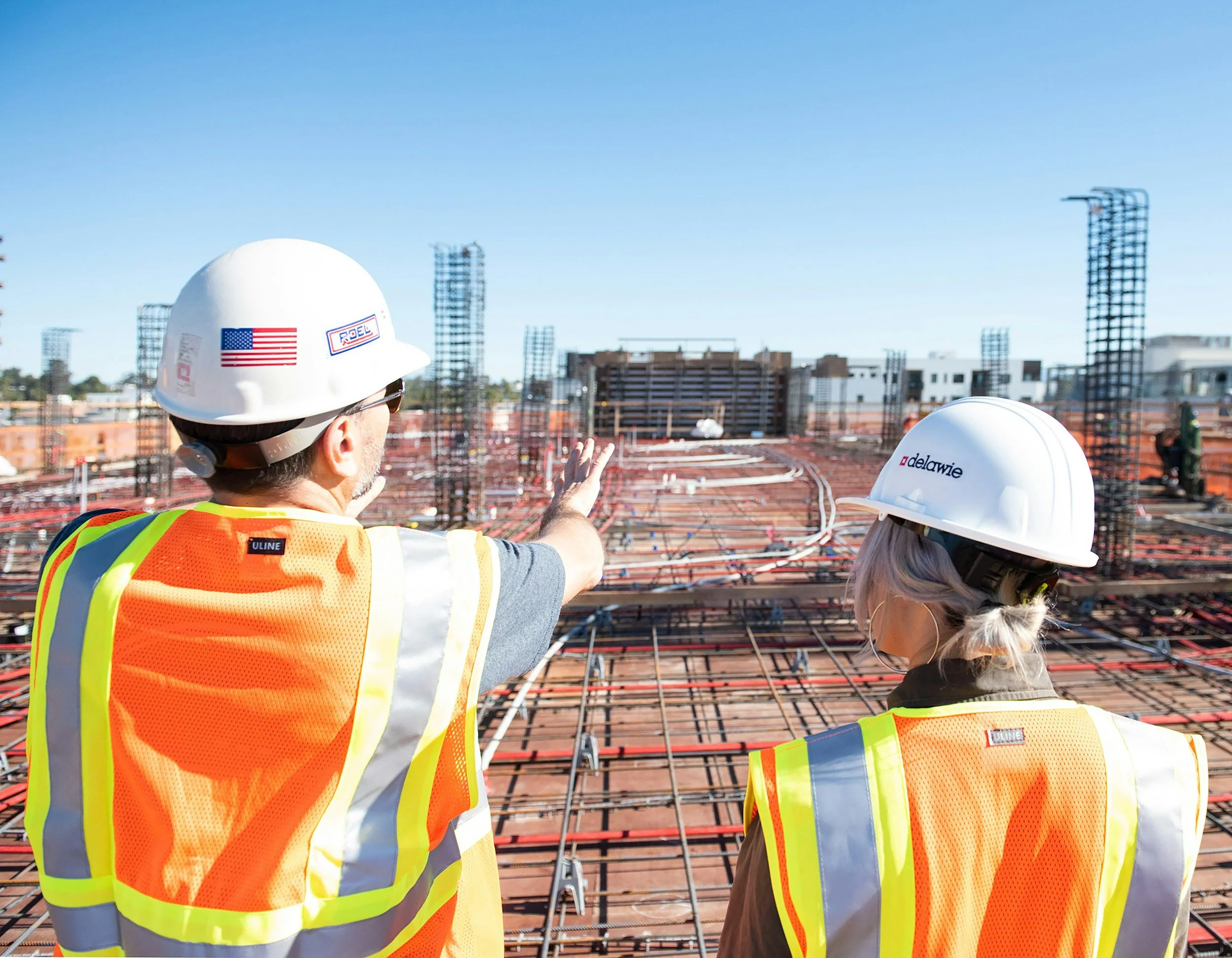
We coordinate with your project team on access, on-site contacts, safety protocols, and any GC-specific requirements. We provide a Certificate of Insurance naming you as additional insured, typically within one business day of contract signing.
4. Capture and Delivery
For recurring engagements, we fly a fixed waypoint mission consistent week-over-week comparison. For one-time engagements, we plan capture angles based on the scope call. Deliverables arrive in your shared folder within 48 hours of each flight, organized and ready to use.

5. Ongoing Communication
You get a real person who replies to email, picks up the phone, and tells you the truth about weather, delays, and what we are seeing in the footage. No portal, no ticket system, no offshore support team.